
Social studies worksheet · Maps and cardinal directions

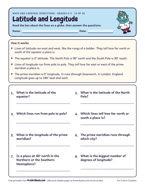
Latitude and Longitude

Learn how lines of latitude and longitude work (the equator is 0°, the poles are 90°, the prime meridian runs through Greenwich), then answer 8 questions.

Share:
Grade level
Grades 4–5
Time
About 20 minutes
Answer key
Yes, page 2 of the PDF
Kids practice
Map skills, Cardinal and intermediate directions, Grids and coordinates, Map keys and scale

What kids do

“Read the box about the lines on a globe, then answer the questions.”

Printed on the sheet:

  1. Lines of latitude run east and west, like the rungs of a ladder. They tell how far north or south of the equator a place is.
  2. The equator is 0° latitude. The North Pole is 90° north and the South Pole is 90° south.
  3. Lines of longitude run from pole to pole. They tell how far east or west of the prime meridian a place is.
  4. The prime meridian is 0° longitude. It runs through Greenwich, in London, England.
  5. Longitude goes up to 180° east and west.
  6. 2. What is the latitude of the North
  7. 4. Which lines tell how far north or south a place is?
  8. 6. The prime meridian runs through which city?

Teacher tip

Show the lines on a globe before kids answer.

How to use it

  • Look at a real map of your town or school together first.
  • Show a map on the document camera and model one question.
  • Pair it with a picture book or a short video on the same topic.

Watch for

Kids who think north means “up” on any page. Turn the map and talk about it.

Talk about it

  • Which way is north in our classroom?
  • What did you learn that surprised you?

Take it further

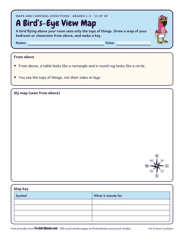
Make a class map of the playground with a key.

US Letter, prints well in black and white. Free for home and classroom use: print as many copies as you need.

More maps and cardinal directions worksheets

Zoo Map Grid: free printable social studies worksheet
Grades 2–4

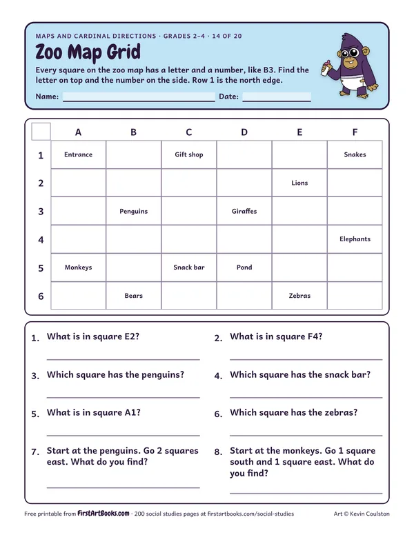
Zoo Map Grid

A 6 by 6 lettered zoo map: find what is in each square, write the square for each animal and follow directions from one exhibit to another.
Kinds of Maps: free printable social studies worksheet
Grades 2–5

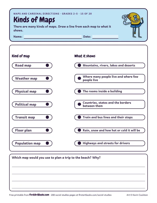
Kinds of Maps

Match 7 kinds of maps, from road maps and weather maps to physical, political and transit maps, to what each one shows.
From My Home to School: free printable social studies worksheet
Grades 2–5

From My Home to School

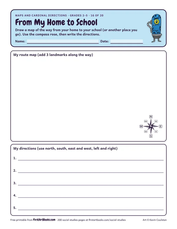
Kids draw a route map from home to school with landmarks along the way, then write step-by-step directions using north, south, east and west.

See all 200 social studies worksheets

Share this with a friend or teacher

Free for teachers

Get the free Classroom Drawing Kit

12 printable pages: six step-by-step lessons, a grid activity, draw-and-write sheets and teacher notes, sent with your welcome email. After that, new classroom printables by email.

Keep creating with Kevin

New book announcements and free drawing and coloring activity pages, delivered by newsletter.