



Grades 2–5
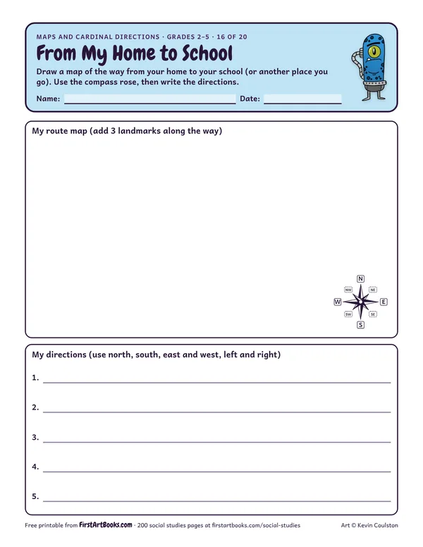
From My Home to School
Kids draw a route map from home to school with landmarks along the way, then write step-by-step directions using north, south, east and west.
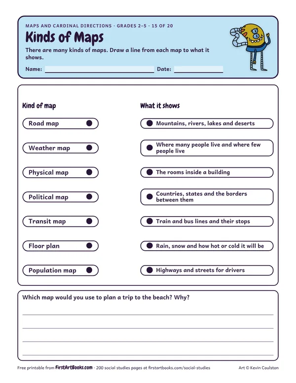
Match 7 kinds of maps, from road maps and weather maps to physical, political and transit maps, to what each one shows.
“There are many kinds of maps. Draw a line from each map to what it shows.”
Printed on the sheet:
Road mapWeather mapPhysical mapPolitical mapTransit mapFloor planPopulation map
Bring in a road map, a weather map and a transit map.
Kids who think north means “up” on any page. Turn the map and talk about it.
Hide a treasure in the classroom and give directions to find it.
US Letter, prints well in black and white. Free for home and classroom use: print as many copies as you need.
Kids draw a route map from home to school with landmarks along the way, then write step-by-step directions using north, south, east and west.
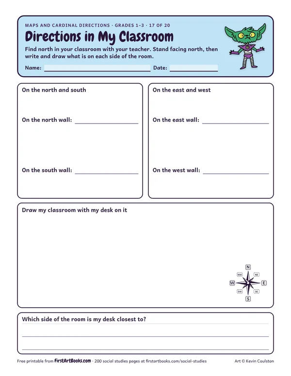
A hands-on compass page: kids find north in their classroom, then record and draw what is on the north, south, east and west sides of the room.
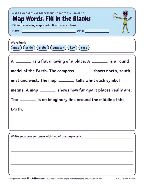
Fill in 6 missing geography words (map, globe, compass rose, key, scale and equator) in a short paragraph, then use two of them in your own sentences.
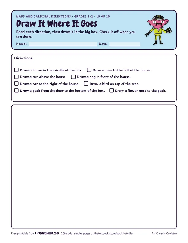
A follow-the-directions drawing page for position words: draw a house in the middle, a tree to its left, a sun above it, a dog in front and more.
12 printable pages: six step-by-step lessons, a grid activity, draw-and-write sheets and teacher notes, sent with your welcome email. After that, new classroom printables by email.