

Grades 1–3
Map or Globe?
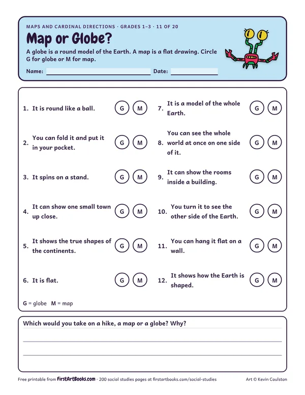
12 sentences that compare maps and globes: Which one can fold into a pocket? Which one shows the true shapes of the continents? Answer key included.
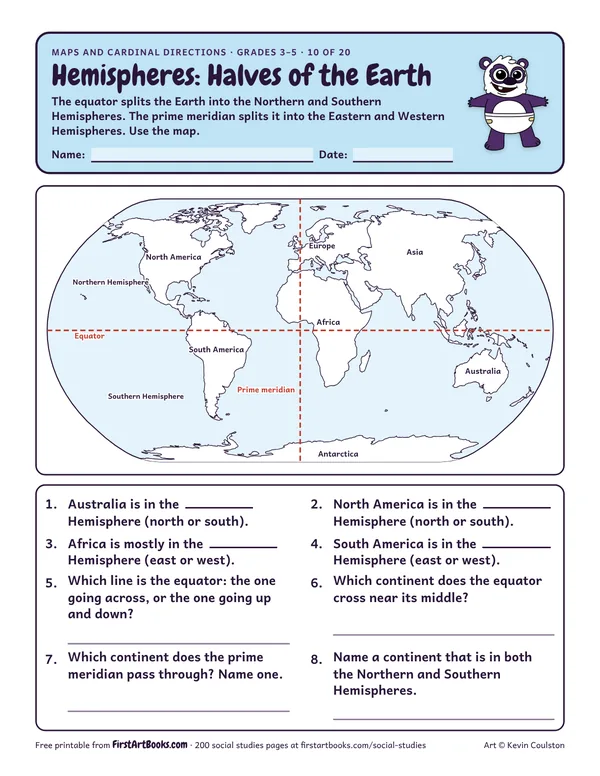
A world map with the equator and prime meridian drawn in: name the hemisphere each continent is in and answer questions about the two halves of the Earth.
“The equator splits the Earth into the Northern and Southern Hemispheres. The prime meridian splits it into the Eastern and Western Hemispheres. Use the map.”
Printed on the sheet:
EuropeAsiaAfricaEquatorPrime meridian
Cut an orange in half to show hemispheres.
Kids who think north means “up” on any page. Turn the map and talk about it.
Make a class map of the playground with a key.
US Letter, prints well in black and white. Free for home and classroom use: print as many copies as you need.
12 sentences that compare maps and globes: Which one can fold into a pocket? Which one shows the true shapes of the continents? Answer key included.
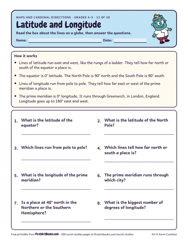
Learn how lines of latitude and longitude work (the equator is 0°, the poles are 90°, the prime meridian runs through Greenwich), then answer 8 questions.
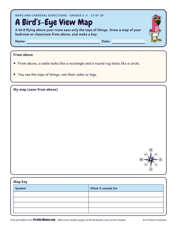
Kids learn what a bird’s-eye view is, then draw a map of their bedroom or classroom from above with a map key of 4 symbols.
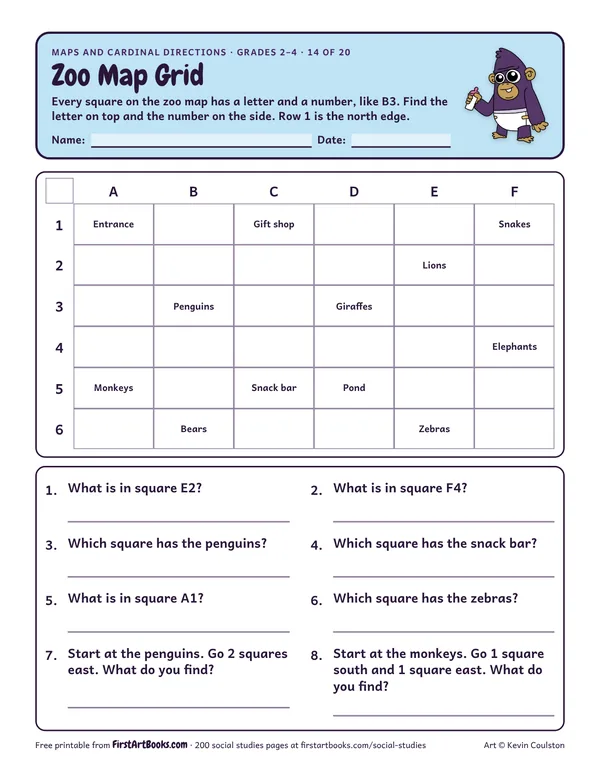
A 6 by 6 lettered zoo map: find what is in each square, write the square for each animal and follow directions from one exhibit to another.
12 printable pages: six step-by-step lessons, a grid activity, draw-and-write sheets and teacher notes, sent with your welcome email. After that, new classroom printables by email.