
Grades 3–5
How Far Is It? Using a Map Scale
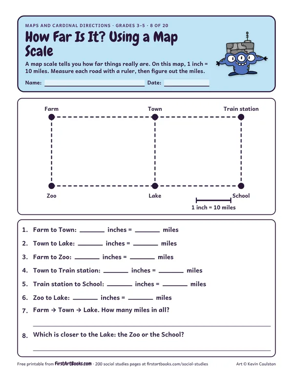
Measure straight roads with a ruler on a map drawn to scale (1 inch = 10 miles) and work out the real distances between the farm, the town, the lake and the school.
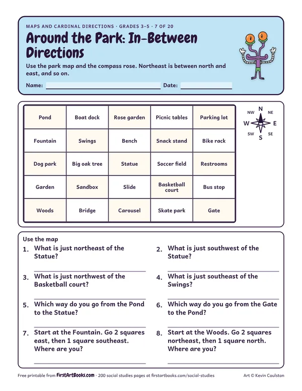
A 25-square park map for the intermediate directions: what is northeast of the statue, which way is the gate from the pond, and more.
“Use the park map and the compass rose. Northeast is between north and east, and so on.”
Printed on the sheet:
Boat dockRose gardenPicnic tablesParking lotSwingsBenchSnack standBike rackDog parkBig oak treeStatueSoccer fieldGardenSandboxSlidecourtBus stopWoodsBridgeSkate parkGateUse the mapNWNE
Review the in-between directions on the compass rose first.
Kids who think north means “up” on any page. Turn the map and talk about it.
Hide a treasure in the classroom and give directions to find it.
US Letter, prints well in black and white. Free for home and classroom use: print as many copies as you need.
Measure straight roads with a ruler on a map drawn to scale (1 inch = 10 miles) and work out the real distances between the farm, the town, the lake and the school.
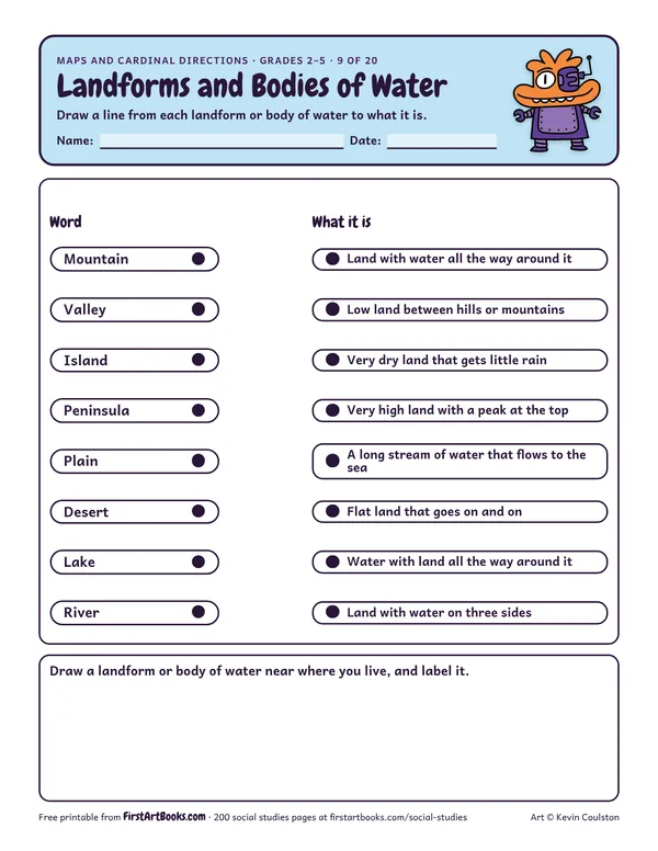
Match 8 geography words, from mountain and valley to island, peninsula, lake and river, to their meanings, then draw a landform you have seen.
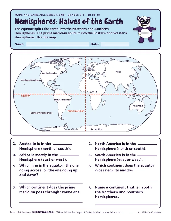
A world map with the equator and prime meridian drawn in: name the hemisphere each continent is in and answer questions about the two halves of the Earth.
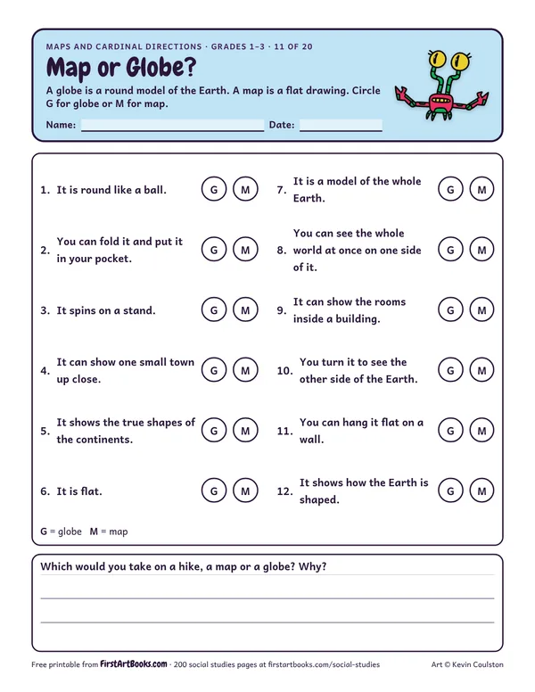
12 sentences that compare maps and globes: Which one can fold into a pocket? Which one shows the true shapes of the continents? Answer key included.
12 printable pages: six step-by-step lessons, a grid activity, draw-and-write sheets and teacher notes, sent with your welcome email. After that, new classroom printables by email.