


Grades 3–5
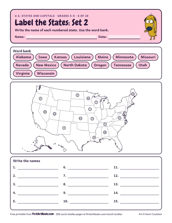
Label the States: Set 2
A second blank U.S. map with 15 different numbered states to name, from Oregon and Minnesota to Louisiana and Maine.
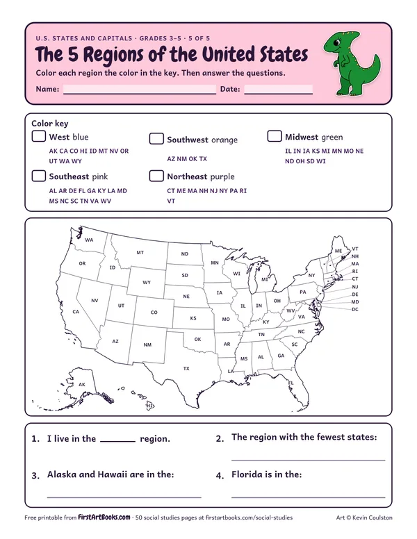
Color the West, Southwest, Midwest, Southeast and Northeast on a U.S. map, then answer questions about the regions.
“Color each region the color in the key. Then answer the questions.”
Printed on the sheet:
Color keyWest blueMidwest greenSouthwest orangeut wa wySoutheast pinkNortheast purpleVTWAMTORMNIDCAWISDWYNVMENDUTAZPAIA
Talk about what makes each region different: weather, land and jobs.
Kids who mix up capitals and big cities. Point out tricky ones like New York and Albany.
Write to a pen pal class in another state.
US Letter, prints well in black and white. Free for home and classroom use: print as many copies as you need.
A second blank U.S. map with 15 different numbered states to name, from Oregon and Minnesota to Louisiana and Maine.
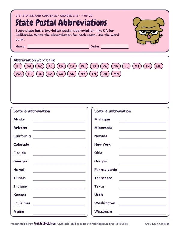
Write the two-letter postal abbreviation for 24 states, from AK to WI, with a word bank to choose from.
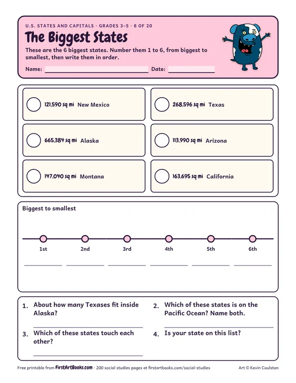
Rank the six largest states (Alaska, Texas, California, Montana, New Mexico and Arizona) by area, then answer questions about the map.
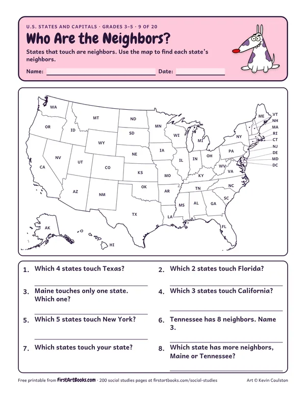
Use a labeled U.S. map to find which states border Texas, Florida, Maine, California, New York and Tennessee, then list your own state’s neighbors.
12 printable pages: six step-by-step lessons, a grid activity, draw-and-write sheets and teacher notes, sent with your welcome email. After that, new classroom printables by email.