



Grades 3–5
State Capitals Word Search
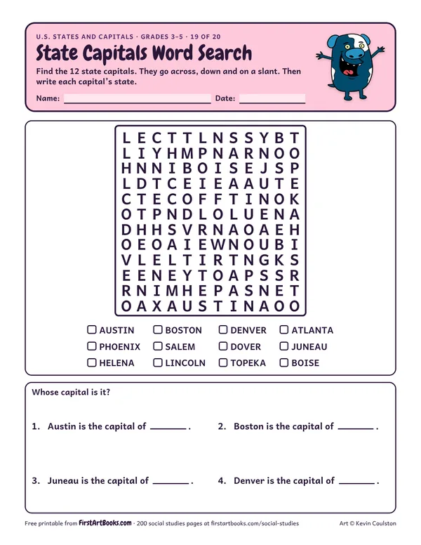
A 12 by 12 word search of 12 state capitals, from Austin and Boston to Juneau and Boise, then name the state for each one.
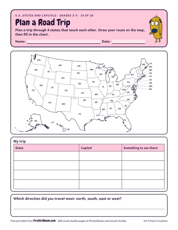
Kids plan a road trip through 4 neighboring states: draw the route on a labeled U.S. map and list each state’s capital and something to see there.
“Plan a trip through 4 states that touch each other. Draw your route on the map, then fill in the chart.”
Printed on the sheet:
WAMTORMENDIDMNSDWINVCAIANEUTAZCOILKSOKNMMOPAOHIN
Let kids plan a trip they would really like to take.
Kids who mix up capitals and big cities. Point out tricky ones like New York and Albany.
Write to a pen pal class in another state.
US Letter, prints well in black and white. Free for home and classroom use: print as many copies as you need.
A 12 by 12 word search of 12 state capitals, from Austin and Boston to Juneau and Boise, then name the state for each one.
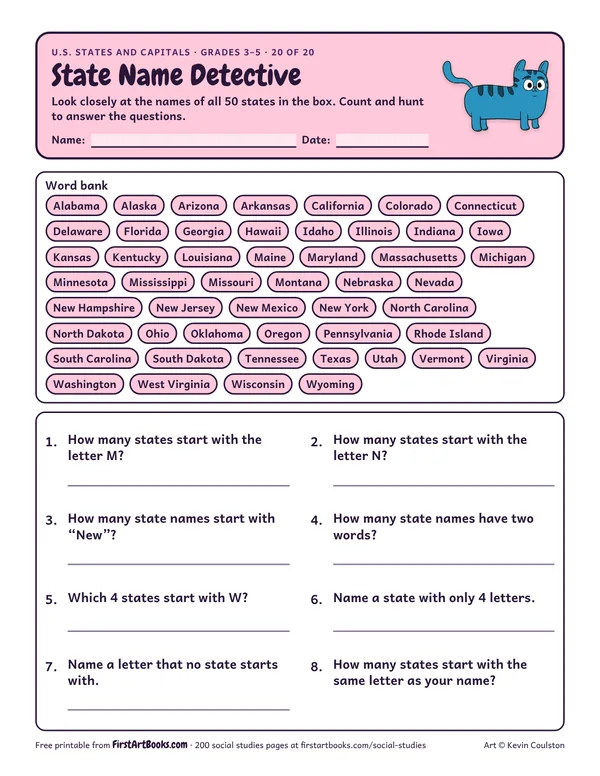
Use the list of all 50 state names to count and hunt: how many start with M or N, how many have two words, and which letters start no state at all.
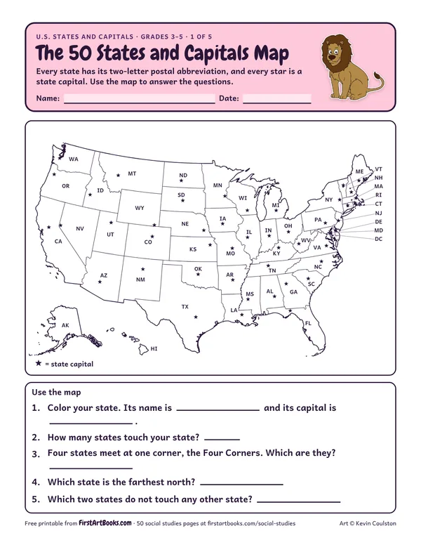
A U.S. map with every state’s abbreviation and a star on every capital, plus map questions about your own state.
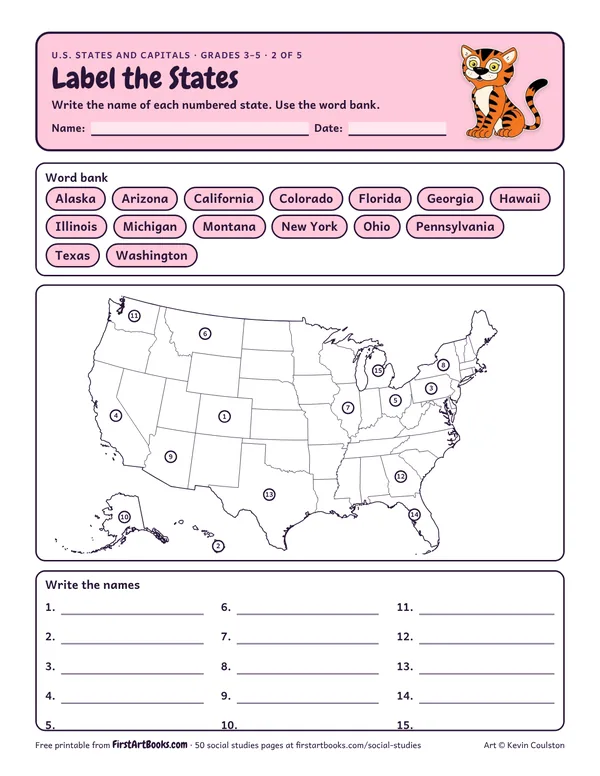
A blank U.S. map with 15 numbered states to name from a word bank, from California to Pennsylvania.
12 printable pages: six step-by-step lessons, a grid activity, draw-and-write sheets and teacher notes, sent with your welcome email. After that, new classroom printables by email.