

Grades 1–5
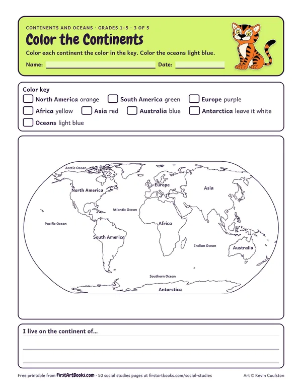
Color the Continents
A labeled world map to color, with a color key for each continent, so kids learn where all 7 continents are.
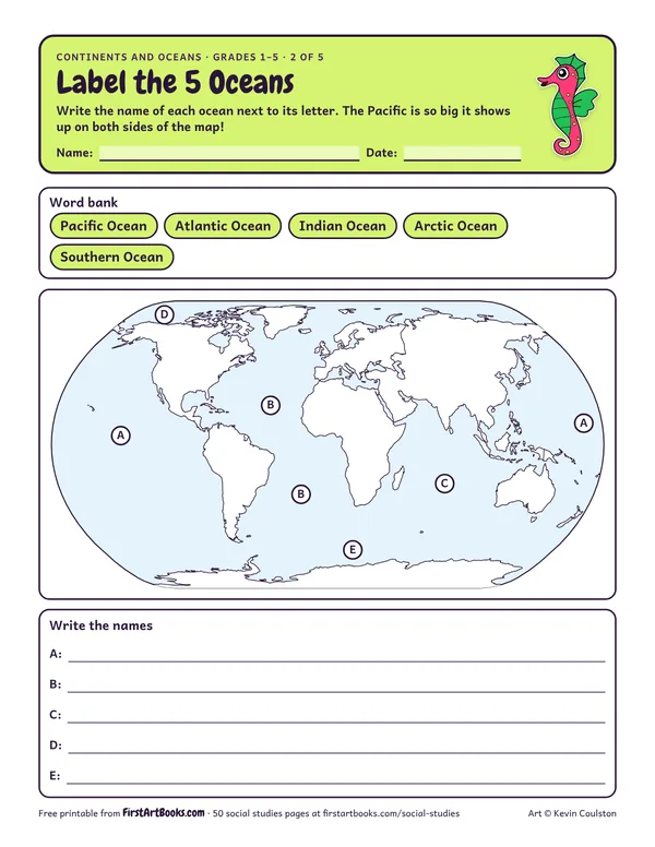
A world map with the 5 oceans lettered (Pacific, Atlantic, Indian, Arctic and Southern) to label from a word bank.
“Write the name of each ocean next to its letter. The Pacific is so big it shows up on both sides of the map!”
Printed on the sheet:
The Pacific shows up twice on a flat map. Show it on a globe to explain why.
Mixing up countries and continents. Africa is a continent with 54 countries.
Bring in foods, music or photos from a continent each week.
US Letter, prints well in black and white. Free for home and classroom use: print as many copies as you need.
A labeled world map to color, with a color key for each continent, so kids learn where all 7 continents are.
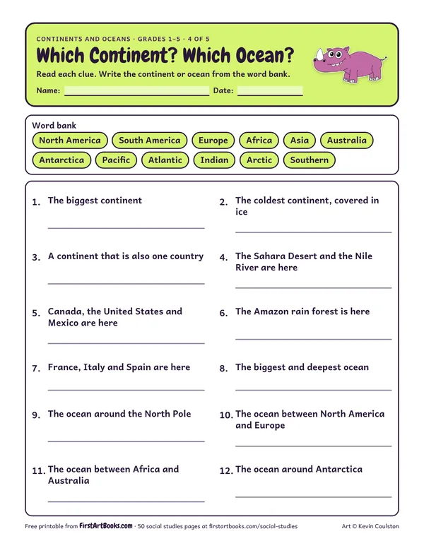
12 clue questions about the largest continent, the coldest continent, the deepest ocean and more.
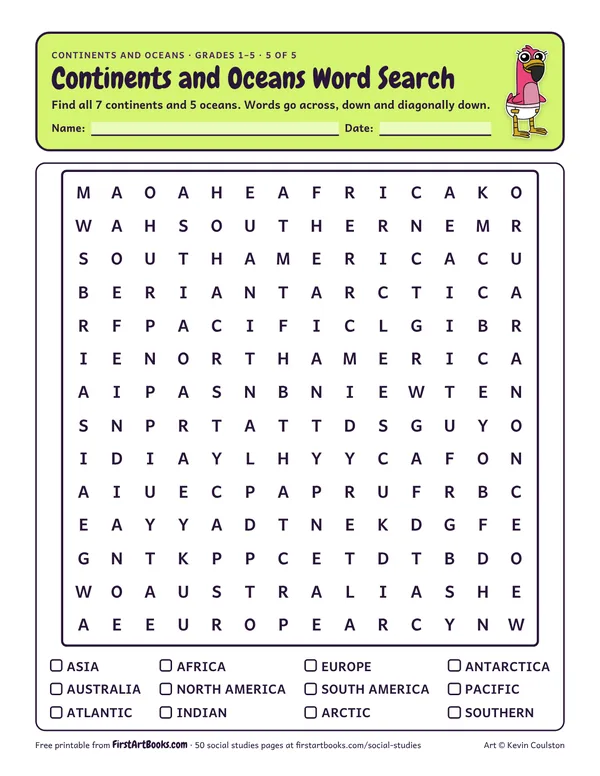
Find all 7 continents and 5 oceans in a 14 by 14 word search. Two-word names are written without a space.
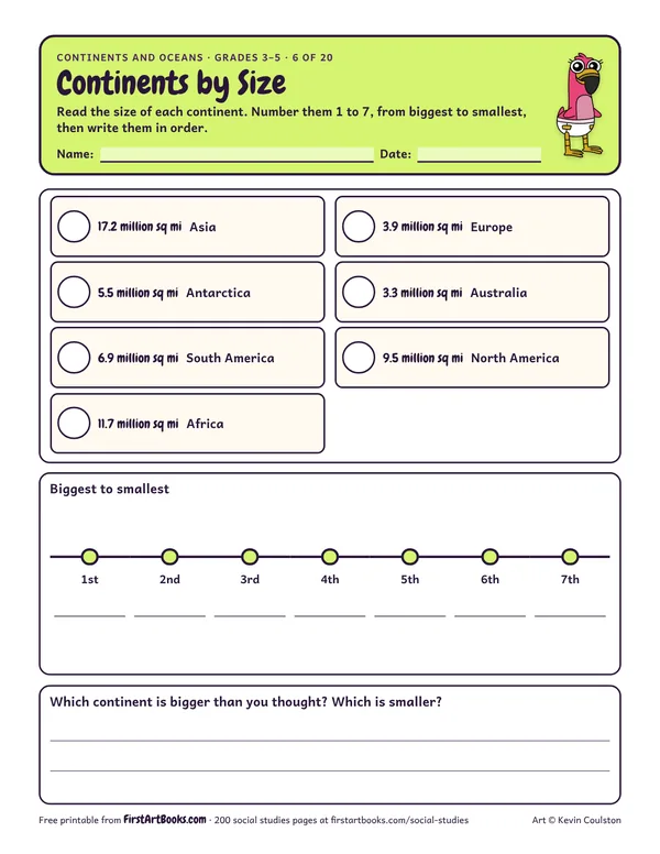
Rank all 7 continents from largest to smallest by their area in square miles, then write the order on a timeline.
12 printable pages: six step-by-step lessons, a grid activity, draw-and-write sheets and teacher notes, sent with your welcome email. After that, new classroom printables by email.